The SCORPION project is launching SCORPION Monthly Talks, a monthly Podcast series, as part of its activities this year. Listeners will be able to understand the progress of the project, its findings, and advances. Each episode will involve experts from the project team, who will discuss their research and provide insights into the challenges and solutions for the viticulture industry. In addition, the content will explore precision farming, robotics and new technologies to help develop viticulture practices and ensure sustainability, productivity and efficiency.
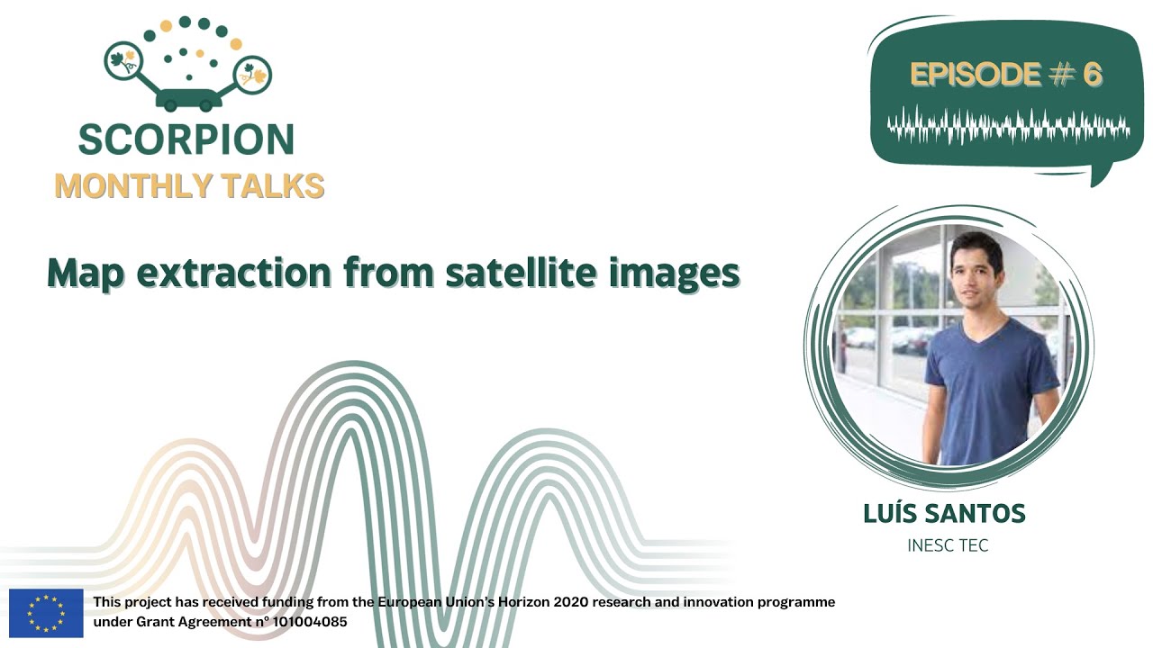
Today’s 6th episode of SCORPION Monthly Talks, is titled “Map Extraction from Satellite Images”. Our speaker, Luís Santos from INESC TEC, is presenting the details of the process of extracting maps from satellite or aerial images for autonomous robot navigation in agriculture. The use of robots in agriculture has become essential, but in complex terrains like vineyards with steep slopes, traditional navigation tools can falter. GNSS signals can be unreliable, and
rugged terrain poses a constant threat to both equipment and crops. But here are several innovative approaches in using satellite imagery to create pre-maps for robot navigation.
Join us as we dive into the complexities and triumphs of this groundbreaking solution that adapts to a variety of permanent crops, regardless of their row shape.
Don’t miss this enlightening episode of SCORPION Monthly Talks!
Find out the full episode here: https://youtu.be/IezE2t2JmuQ